Log in
All resources
Create a design
37,019 Free Images of 1863 Maps
maps in the british museum
maps in the amsterdam museum
fonds ancely - bibliothèque municipale de toulouse - maps
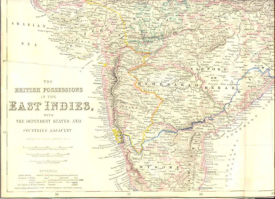
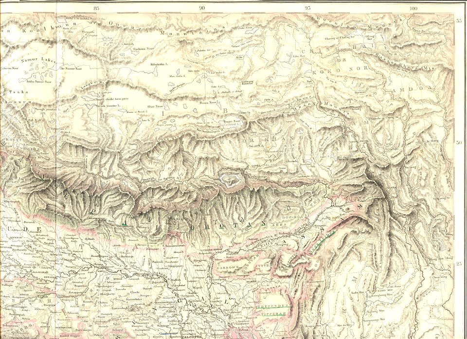
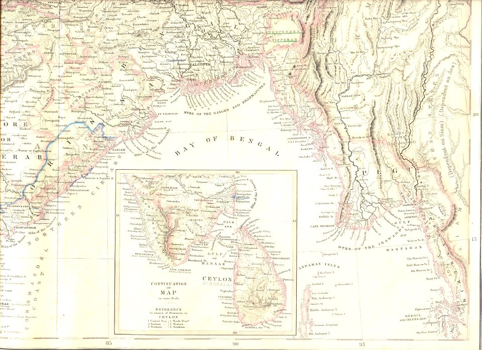
19th-century maps of india
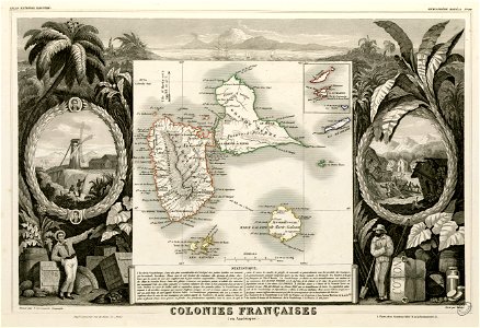
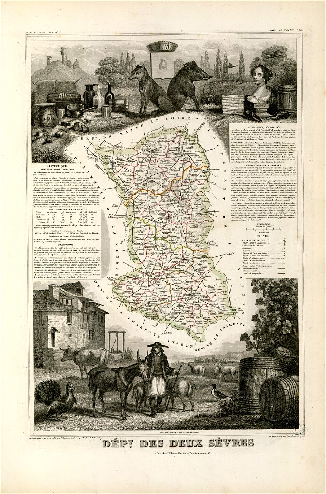
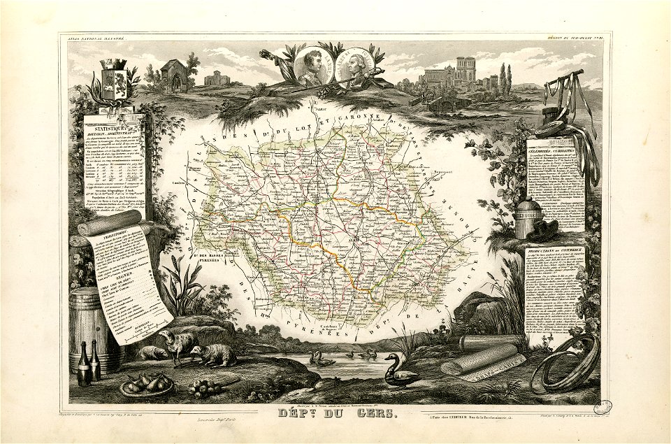
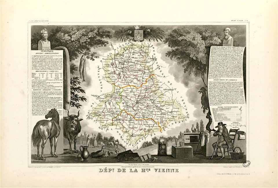
victor levasseur - maps of france
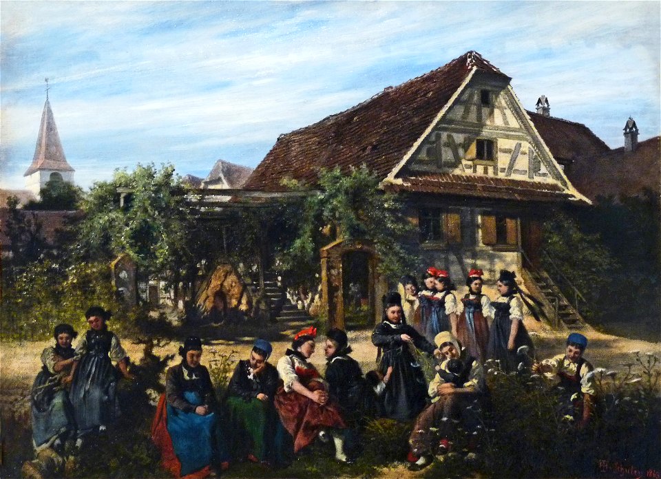
1863 paintings
giovanni camocio
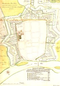
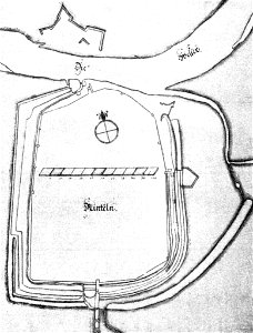
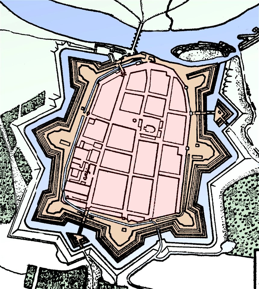
stadtbefestigung rinteln
maps of rinteln
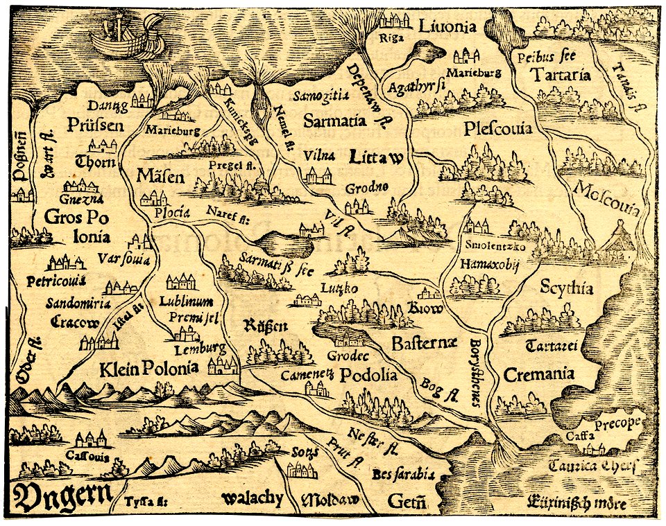
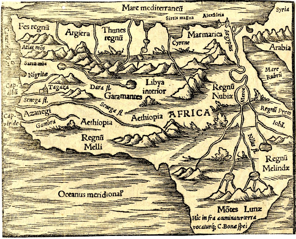
maps made in the 17th century
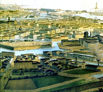
old maps of livorno
livorno
giovanni camocio
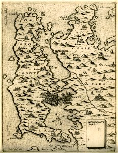
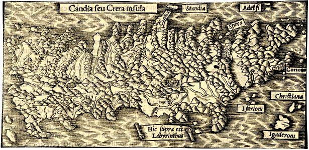
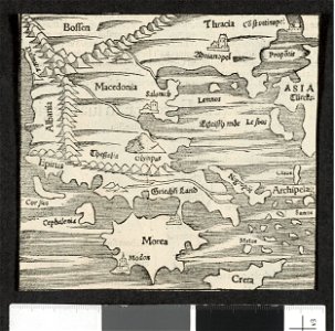
maps of euboea
giuseppe rosaccio
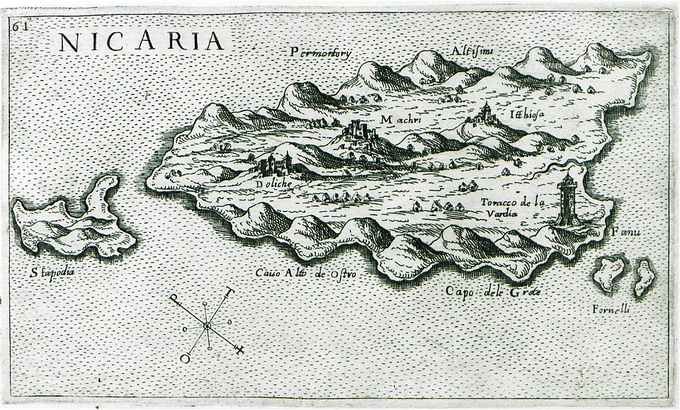
maps of icaria
bouwkundige bijdragen
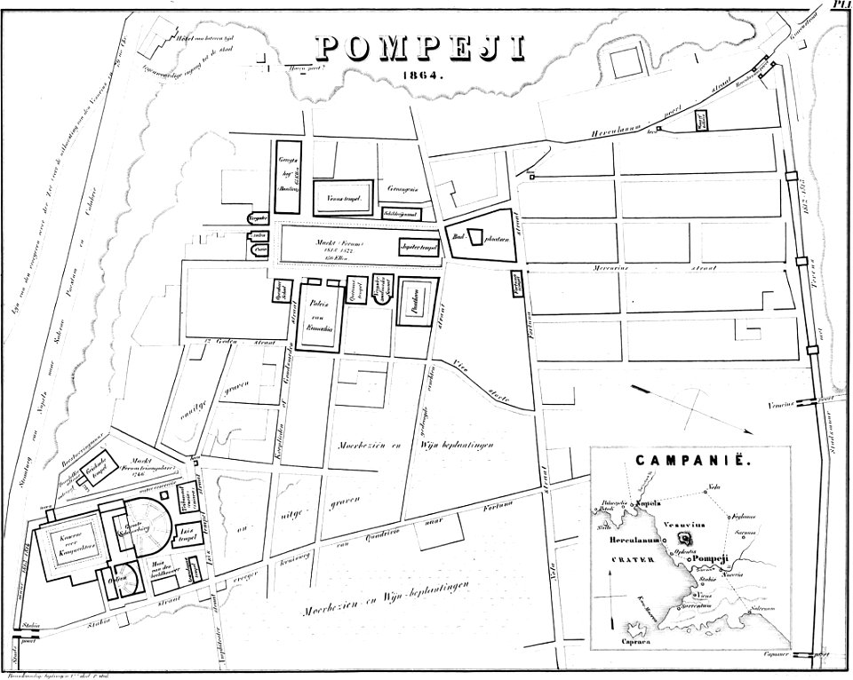
maps of pompeii
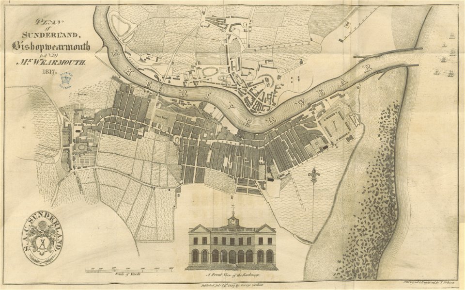
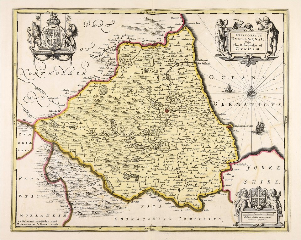
old maps of sunderland
sunderland
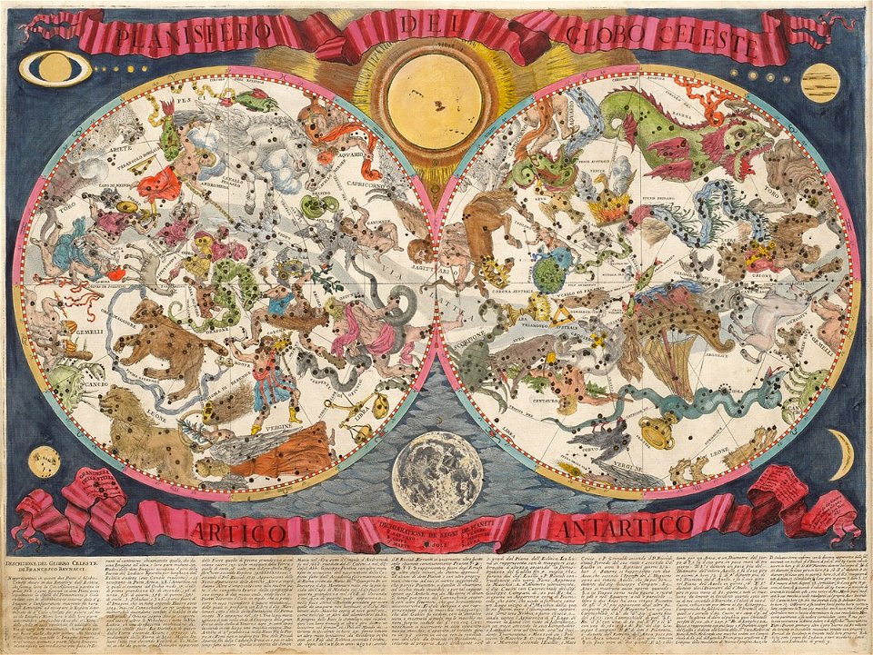
old celestial maps
francesco brunacci
potala palace
maps of tibet
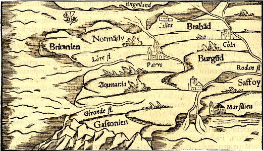
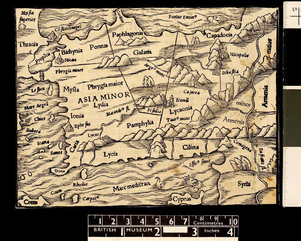
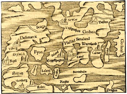
maps in the british museum
maps in the british museum
maps in the british museum
maps in the british museum
maps in the british museum
maps in the british museum
maps in the british museum
maps in the british museum
maps in the british museum
maps in the british museum
maps in the british museum
maps in the british museum
maps in the british museum
maps in the british museum
maps in the british museum
maps in the british museum
maps in the british museum
maps in the british museum
maps in the british museum
maps in the british museum
maps in the british museum
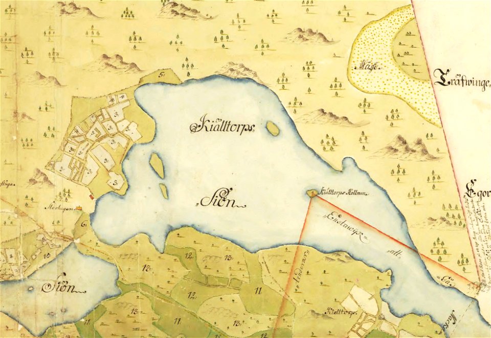
maps of lars kietzlingh
källtorpssjön
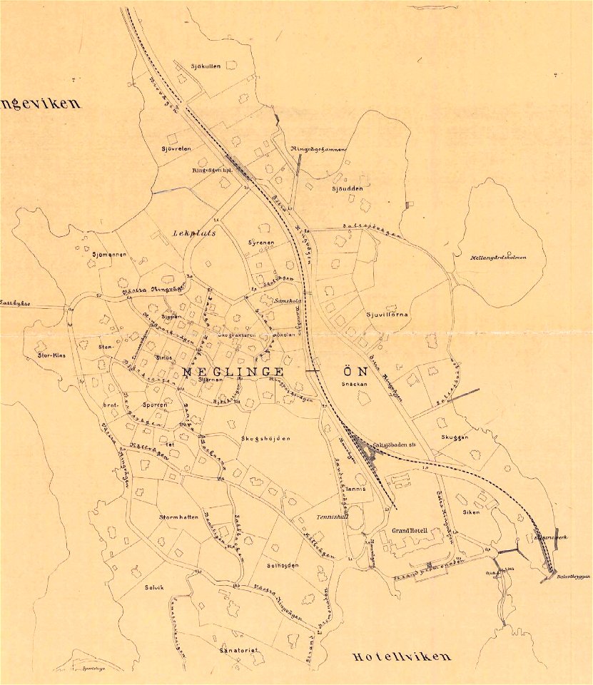
saltsjöbaden
maps
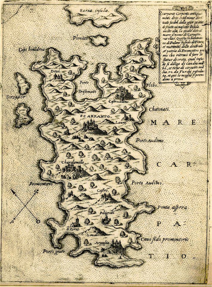
maps of karpathos
giovanni camocio
maps in the british museum
maps in the british museum
maps in the british museum
maps in the british museum
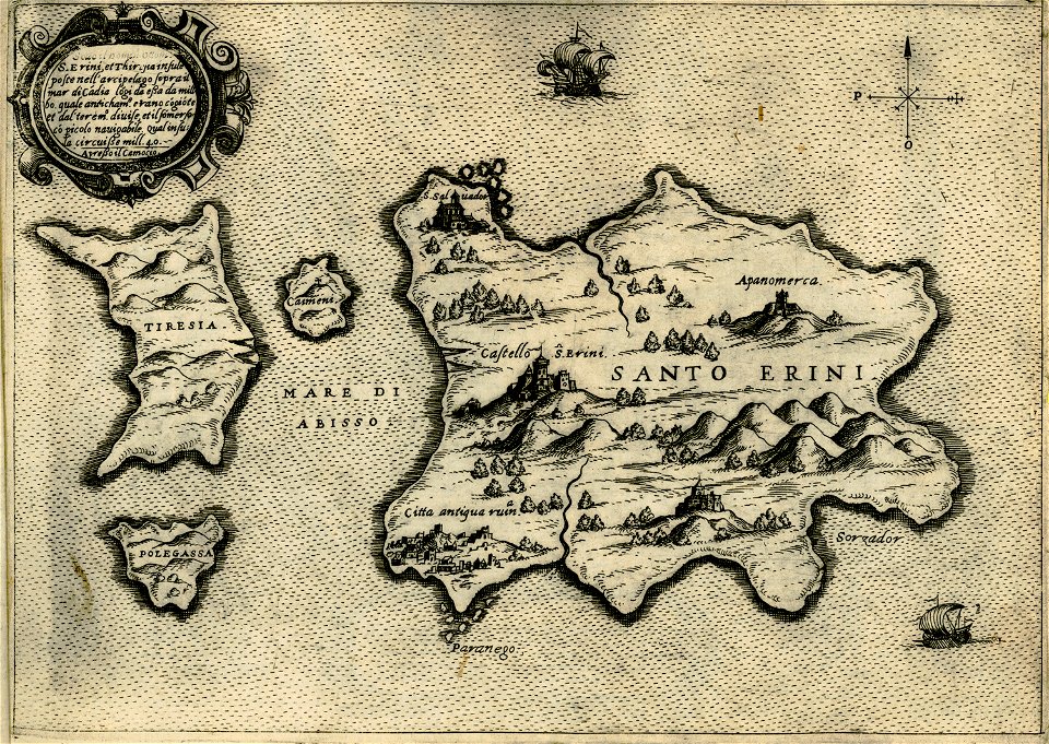
maps about santorini
giovanni camocio
giovanni camocio
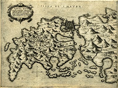
maps of lefkada
people with maps in art
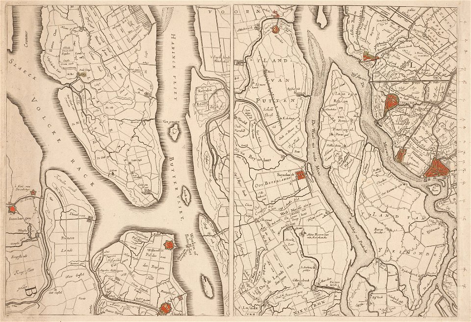
maps in the amsterdam museum
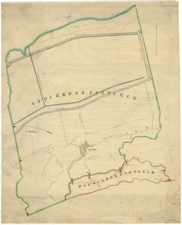
holwinde
usquert
maps of de marne
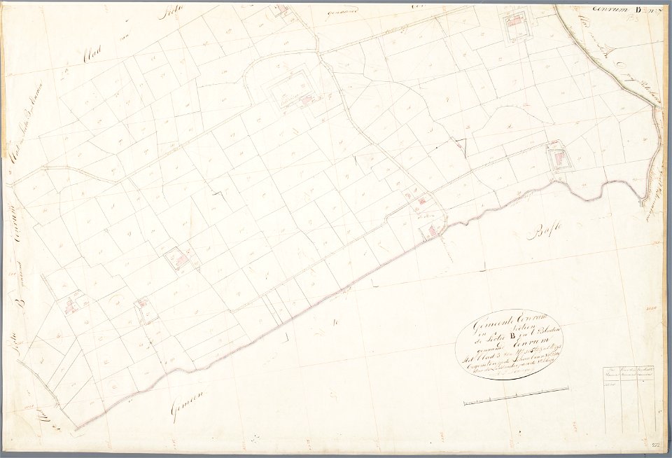
eenrum
maps in the amsterdam museum
kammeckers malmgård
maps of östermalm
maps of de marne
eenrum
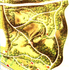
maps of berlin-wannsee
böttcherberg
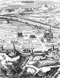
old maps of kempten (allgäu)
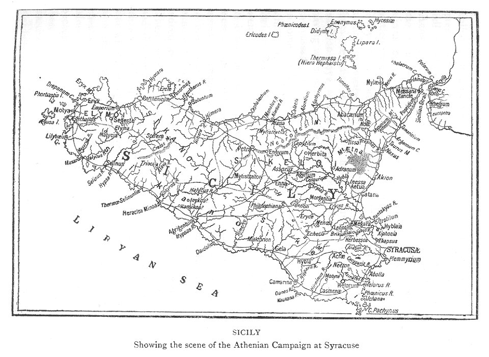
maps of the sicilian expedition
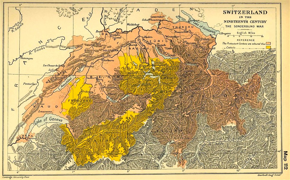
maps of the sonderbund war
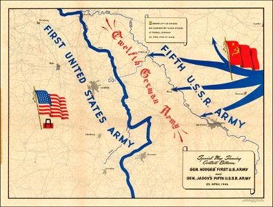
maps of world war ii
stadtbefestigung rinteln
maps of rinteln
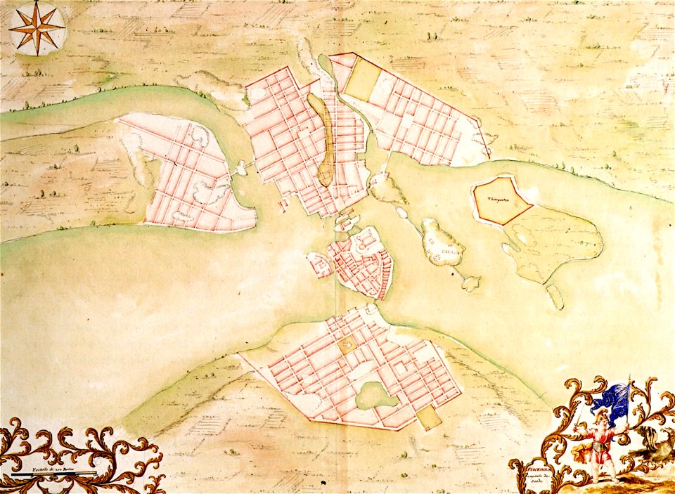
17th-century maps of stockholm
17th-century maps of stockholm
stadtbefestigung rinteln
maps of rinteln
stadtbefestigung rinteln
maps of rinteln
19th-century maps of india
19th-century maps of india
maps in the amsterdam museum
maps in the amsterdam museum
maps in the amsterdam museum
19th-century maps of india
19th-century maps of india
19th-century maps of india
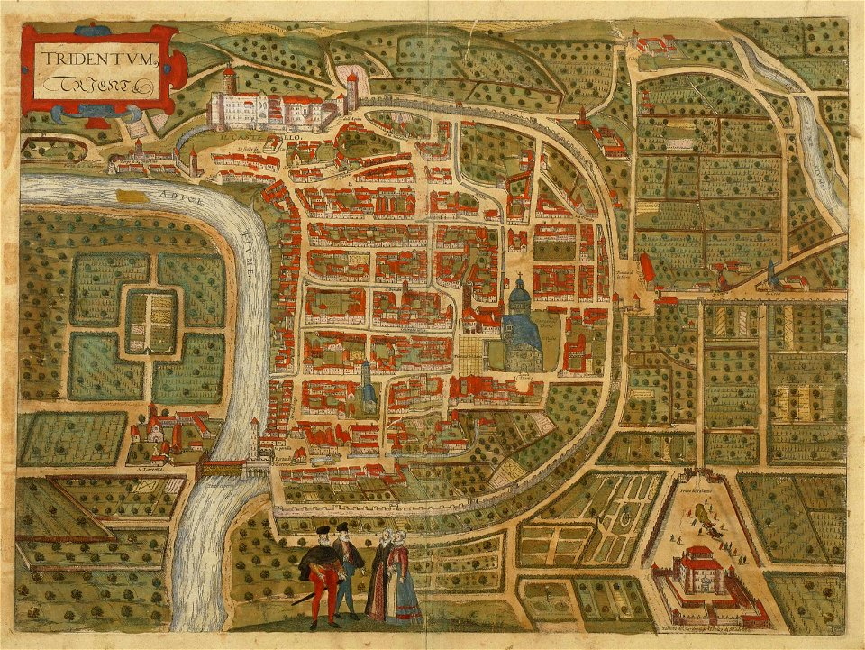
old maps of trento
engraving
stadtbefestigung rinteln
maps of rinteln
maps in the amsterdam museum
18th-century maps of hispaniola
hispaniola
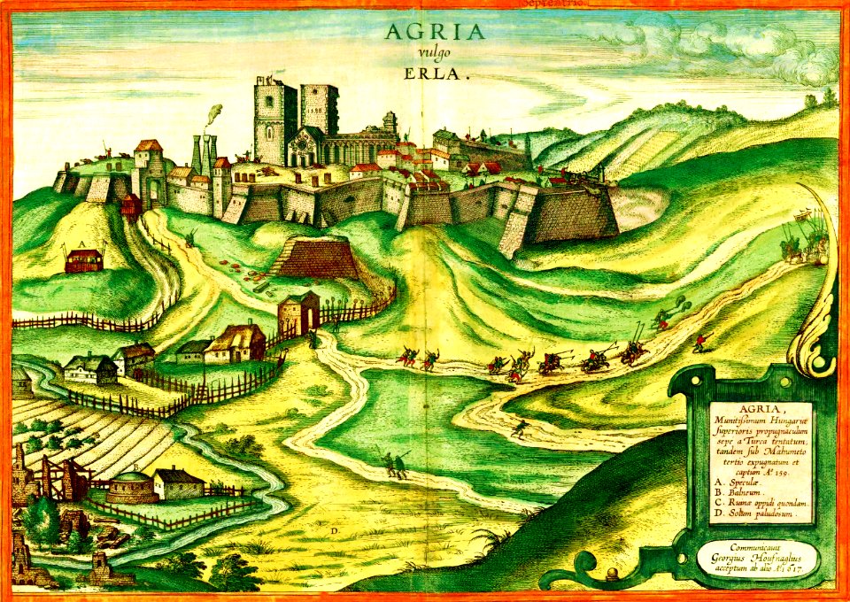
maps and topographical views by joris hoefnagel
braun & hogenberg
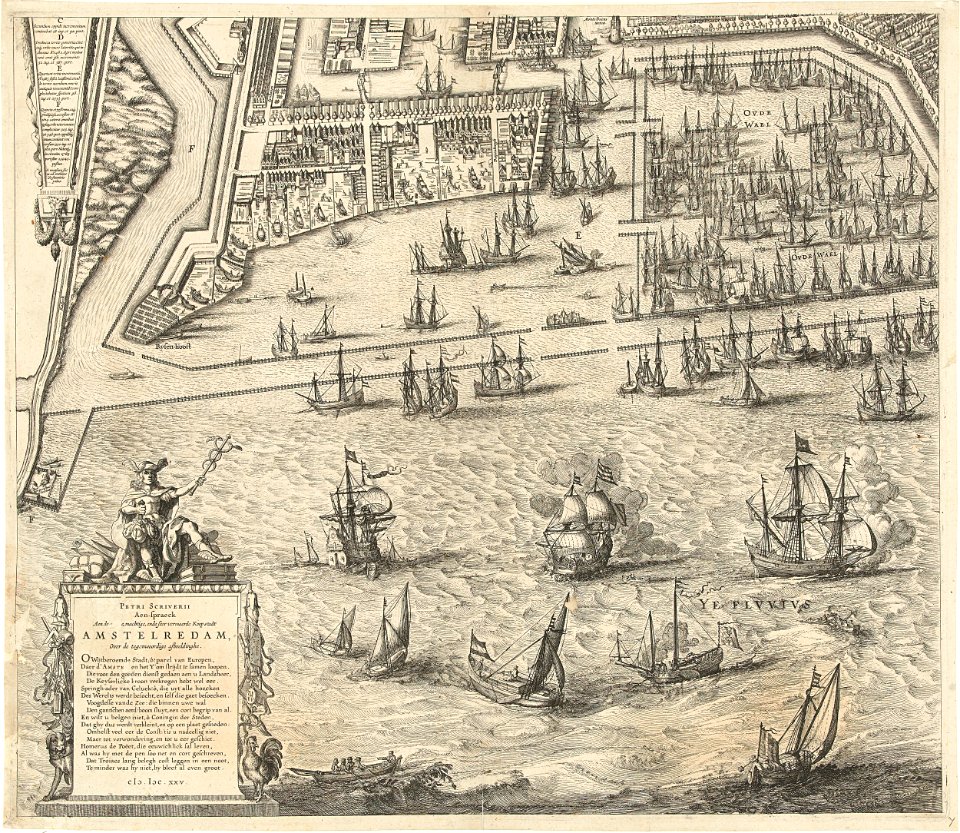
dutch 17th-century prints in the rijksmuseum amsterdam
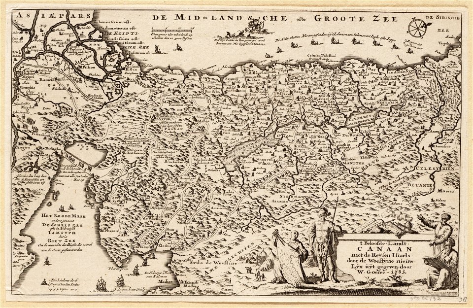
petrus scriverius
maps by nicolas sanson
maine-et-loire
trịnh lords
1747)
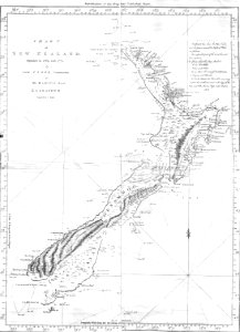
new zealand
geography
fonds ancely - bibliothèque municipale de toulouse - maps
victor levasseur - maps of the world
coats of arms of cities in loire
frédéric-auguste laguillermie
fonds ancely - bibliothèque municipale de toulouse - maps
victor levasseur - maps of france
coats of arms of auch
jean lannes
fonds ancely - bibliothèque municipale de toulouse - maps
frédéric-auguste laguillermie
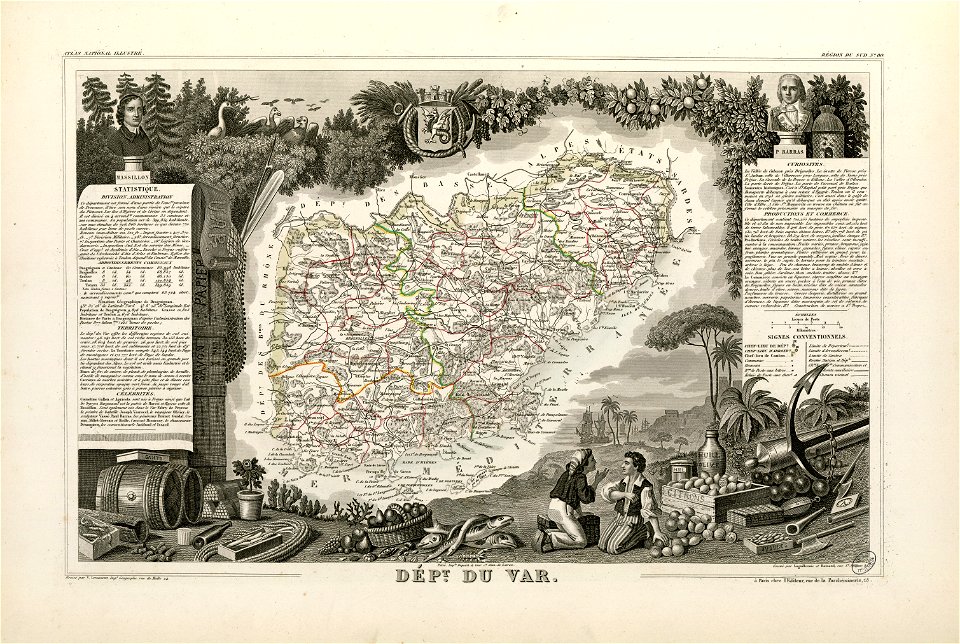
coats of arms of cities in var
old maps of var
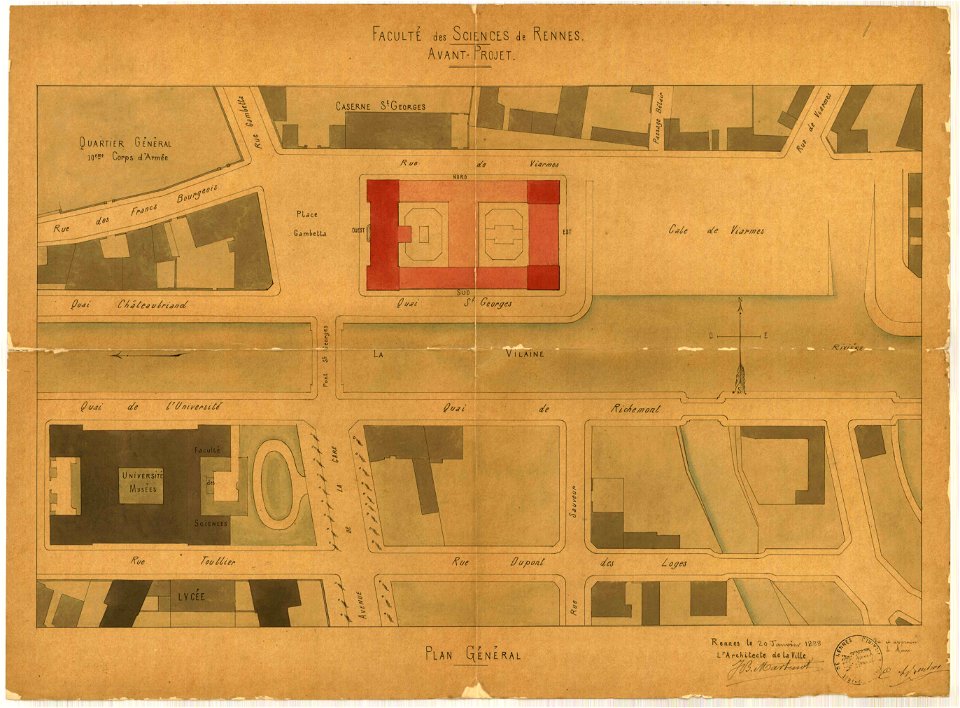
jean-baptiste martenot
1888 in bretagne
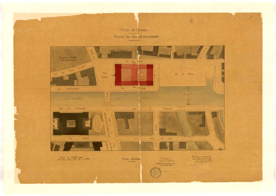
jean-baptiste martenot
1888 in bretagne
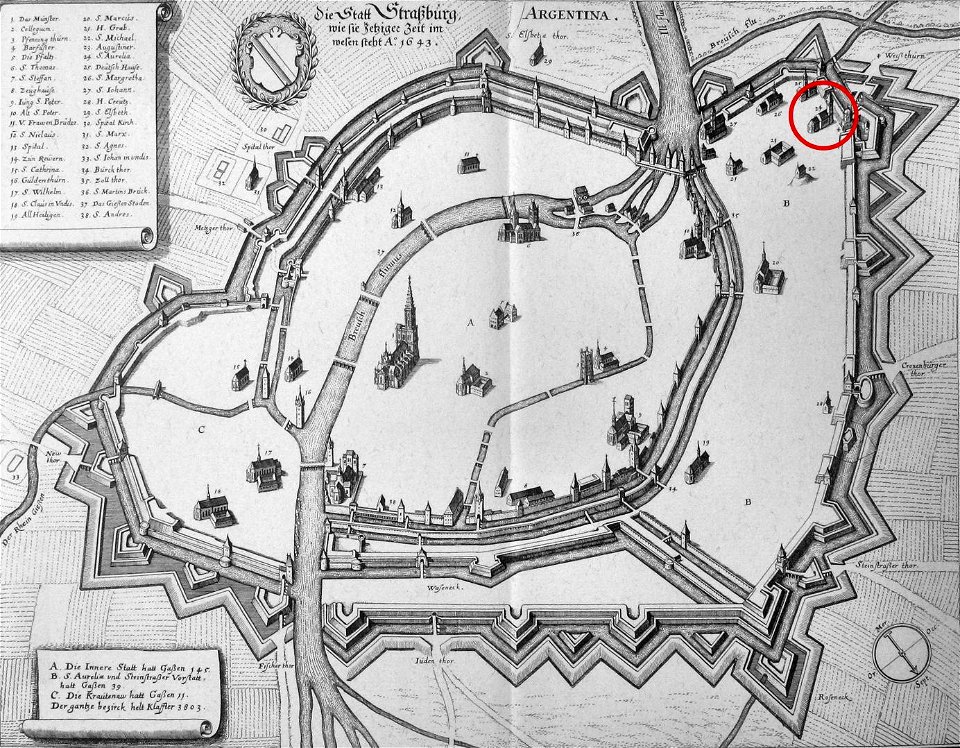
église sainte-aurélie
strasbourg
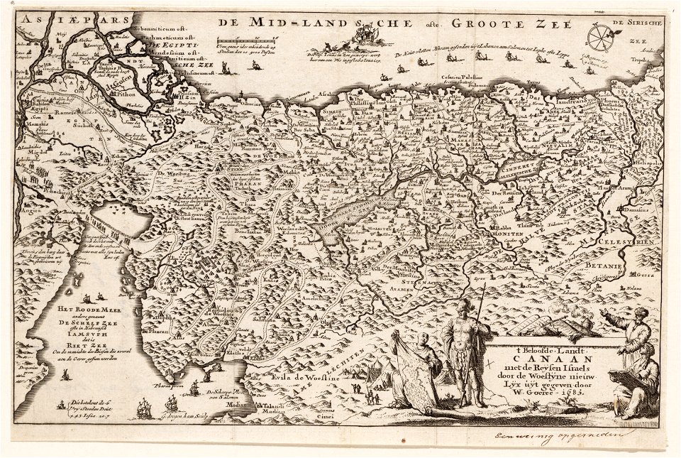
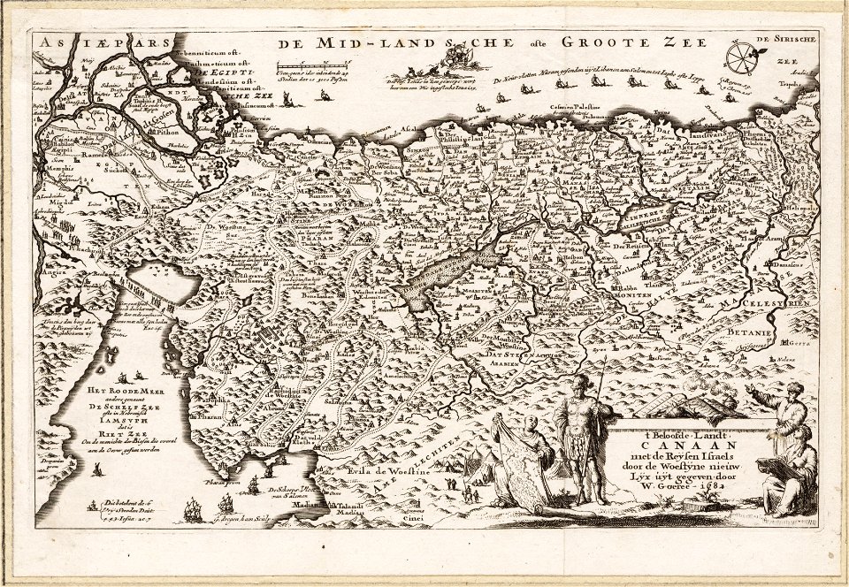
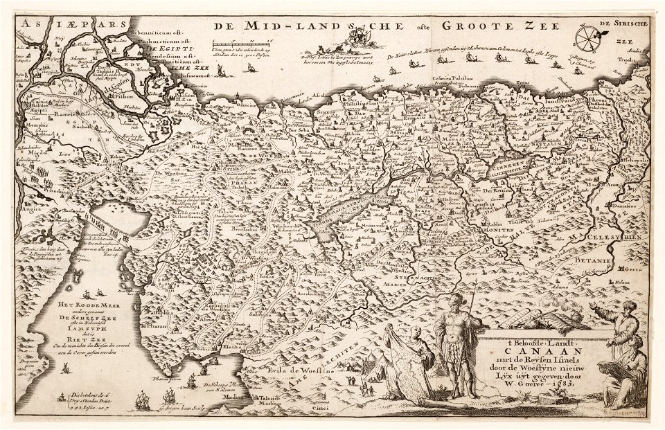
maps made in the 17th century
gerard valck
maps made in the 17th century
gerard valck
old maps of the sea of azov
1856 maps
maps by nicolaes visscher i
claes jansz. visscher (ii)
johann baptist homann
maps
1726
asie
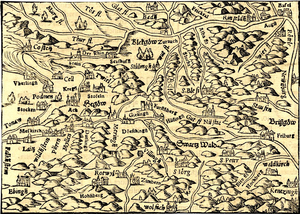
1700s maps of baden-württemberg
bishopric of constance
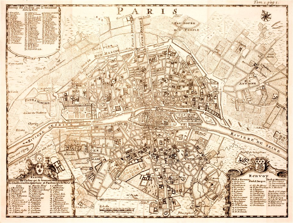
18th-century maps of paris
maps of paris in the 1740s
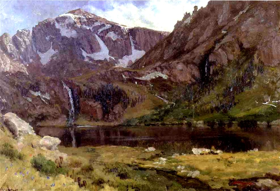
landscape paintings of the united states by albert bierstadt
oil on paper
illustration
1848
illustration
1848
19th-century childhood in painting
gravediggers in art
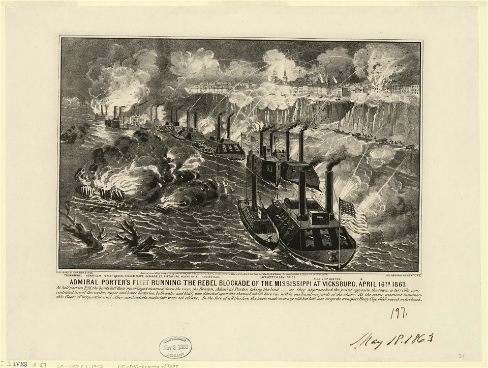
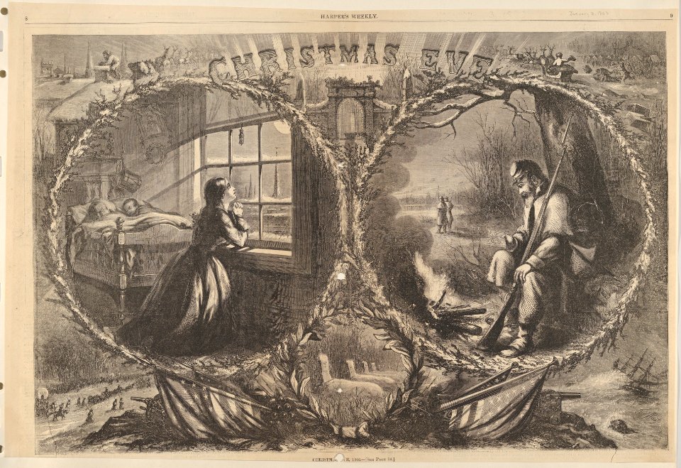
1863
1869
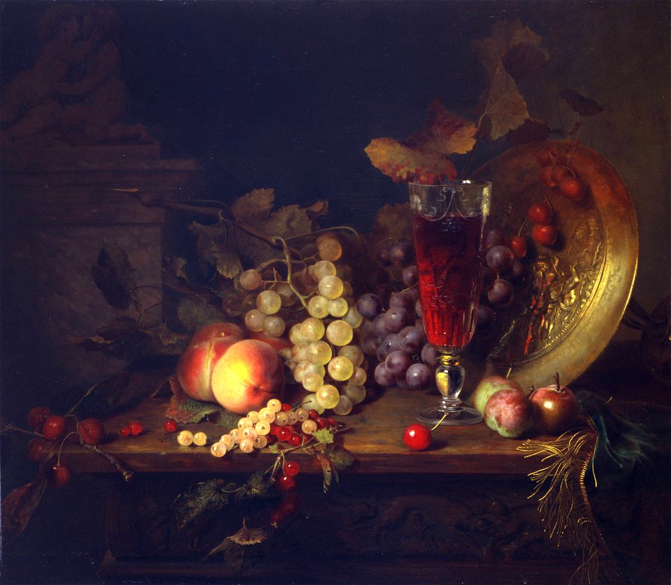
1860s still-life paintings
1860s paintings of fruits
artworks with known accession number
artworks without wikidata item
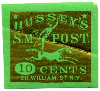
william street (manhattan)
females on stamps
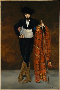
louisine havemeyer
1863 paintings
1860s paintings from france
laundry in art
soldier
uniform
1860s paintings from france
paint the house
5901 - 6000 of 37,019
Next page
/ 371